Red Rocks 3-4 Day Hike
A spectacular and adventurous hike along the complex ridgeline that divides the Wolgan Valley and the Capertee Valley in the Wollemi National Park
About the Red Rocks walk
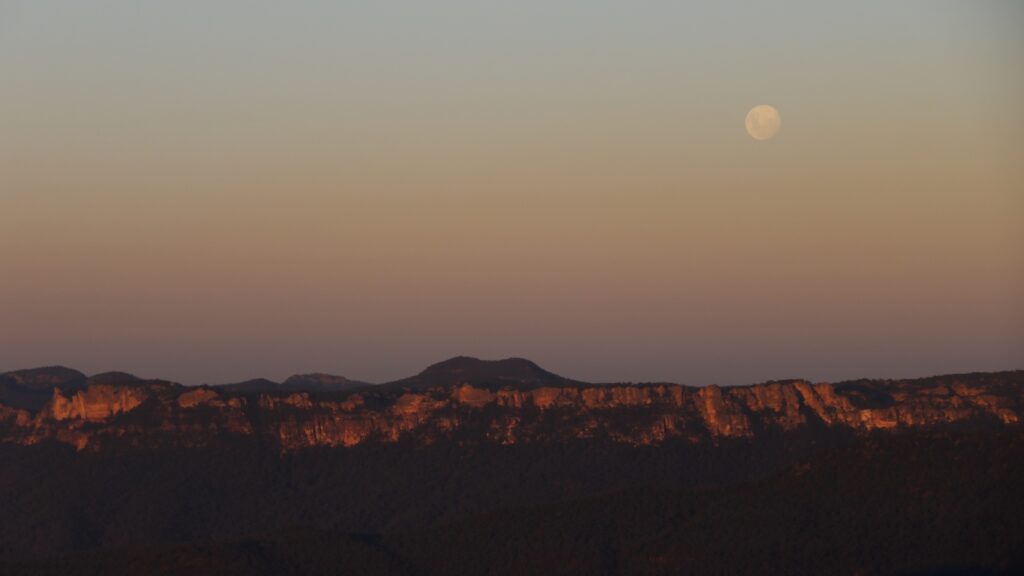
The “Red Rocks” is the name given to the long escarpment of cliffs that divide the Capertee Valley from the Wolgan Valley on the western edge of the Blue Mountains north of Lithgow, about 3 hours drive from Sydney. These cliffs are a rugged range of sandstone, the hinterland of which is a deeply dissected labyrinth of pagodas, ravines, heath and forest.
It is possible, if you know the way and are careful with navigation, to access the Red Rocks from Newnes, an abandoned oil shale mining site in the Wolgan Valley north of Lithgow. In the early 20th century Newnes was a thriving mining village but today it has largely been reclaimed by nature and has become a well known camping area in the Wollemi National Park, with only historic mining ruins remaining as evidence of its former mining history.
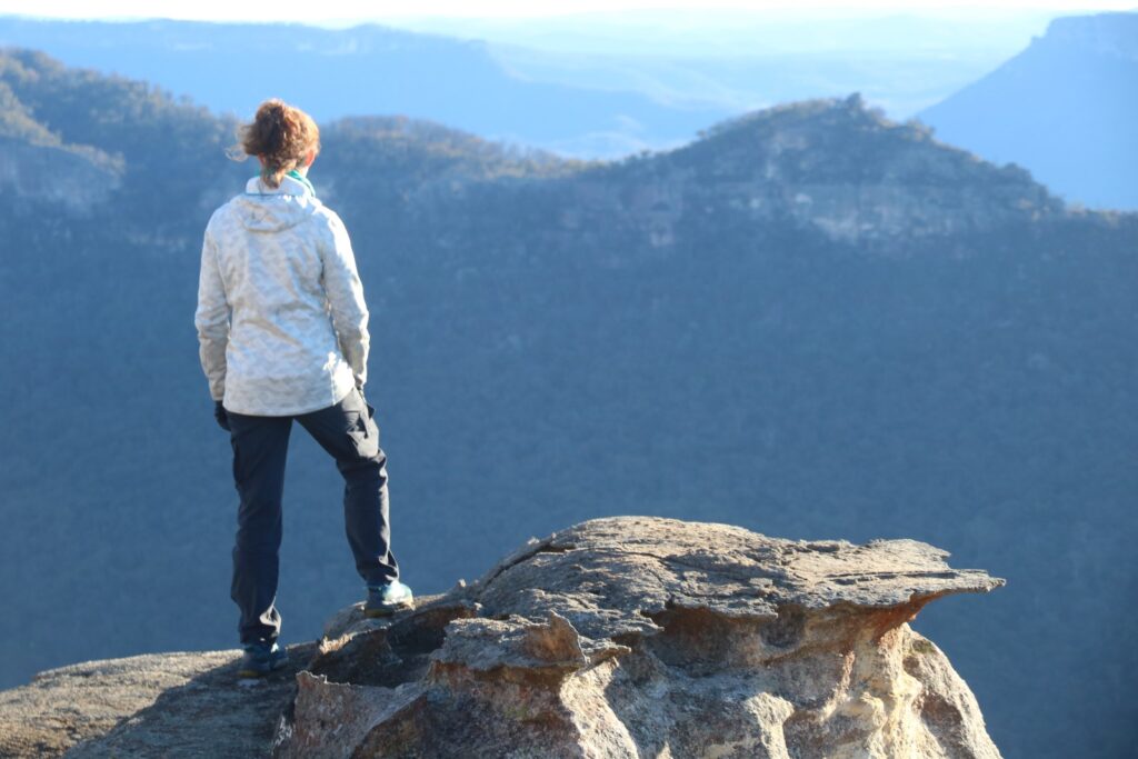
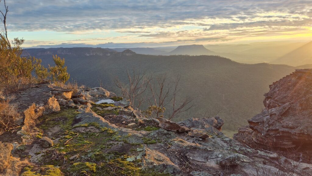
From Newnes it is possible to climb steeply into the Red Rocks and spend a weekend walking in what would have to be one of the most diverse, scenic and spectacular walks anywhere. With the spectacular Wolgan Valley to one side, and the vast Capertee Valley to the other, and features such as Pantoneys Crown, Airlie Plateau and other ranges and cliffs complementing the landscape, a walk in the Red Rocks is a feast of spectacular and expansive views.
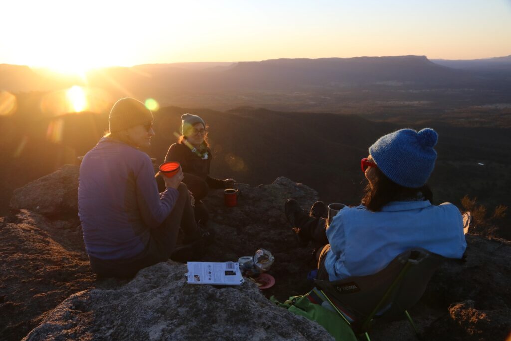
The Red Rocks Walk is best done in late autumn, winter and early to mid spring. One of the reasons for this is that water needs to be carried as most of the hiking follows the crest of ranges and is therefore far from regular water sources, and the campsites do not have nearby water. Most walkers would commence their Red Rocks walk carrying up to 4 litres of water and would use this water sparingly throughout the 2 day hike, knowing that there are only one or two places on the walk where bottles may be refilled. Another reason for doing this walk in the cooler months is the clarity of the air, position of the sun, and the sheer beauty of the area when shone upon by a sun at a gentle angle in the sky. Sunrises and sunsets in the Red Rocks are special times, and it is in the cooler months when these sunsets and sunrises showcase the area at its best.
On MountainSphere’s guided Red Rocks walk, you will be expertly led via a little known route onto the Red Rocks escarpment. We camp in a quiet and little used patch close to the cliff tops from where we can admire a spectacular winter sunset. The route incorporates the spectacular Red Rocks traverse, followed by a steep descent into to Newnes.
Due to the long term closure of the Wolgan Road, an additional half day of walking at the beginning and again at the end of the walk is required to gain access to and egress from the Newnes campground. This is why the walk is done over 3-4 days instead of the customary 2 days.
Day By Day Itinerary
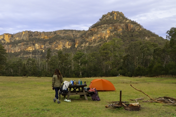
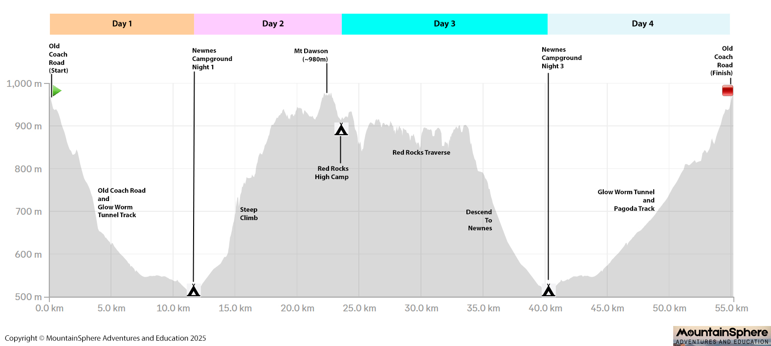
At the time of writing there is no public road access to the Newnes campground. So we need to hike into Newnes from the Newnes Plateau, via the Old Coach Road and the Glow Worm Tunnel track. This walk is about 11km and takes 3-4 hours.
We depart Sydney by car at about 7am, rendezvous at Bell or Zig Zag at about 9am, and then drive the final 40 minutes of gravel road to the Old Coach Road gate on the Newnes Plateau. We then commence the hike at about 11:00 and arrive at Newnes campground by mid-afternoon.
Because there is no public vehicle access to Newnes Campground, we have the large camping area virtually to ourselves and we can enjoy a peaceful afternoon and evening with the gently flowing Wolgan River close by, and majestic cliffs towering above us on all sides.
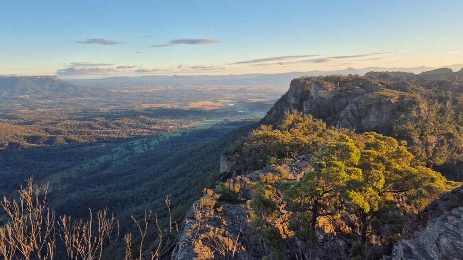
Today is the most difficult day but the hiking gets gentler, easier and more scenic as the day progresses. To earn these scenic views you first need to climb steeply out of the Wolgan Valley. The route departs Newnes on a gentle 4WD trail but soon we turn off this trail and climb steeply through dense bush with no trail. This climb is the most difficult part of the entire walk but after some strenuous climbing we are rewarded with our first of many spectacular views from atop cliffs that our route miraculously avoided. Time for a quick rest here. From here the walking is not as steep but it is still dense scrub with no trail. We climb gradually and pass through some complex country, and we need to negotiate some interesting rocky sections. Careful navigation and route finding is needed. We have lunch somewhere along here and eventually emerge onto a broad ridge and pass more delicate rock formations. Our objective for the day will be to reach the summit of Mt Dawson where we will enjoy 360 degree panoramic views of the surrounding area. The final part of the climb of Mt Dawson can be done without packs.
Not far from Mt Dawson is our campsite. We camp in one of two possible locations depending on the weather. We enjoy spectacular clifftop views and watch the blazing sunset from our camp or from a location nearby.
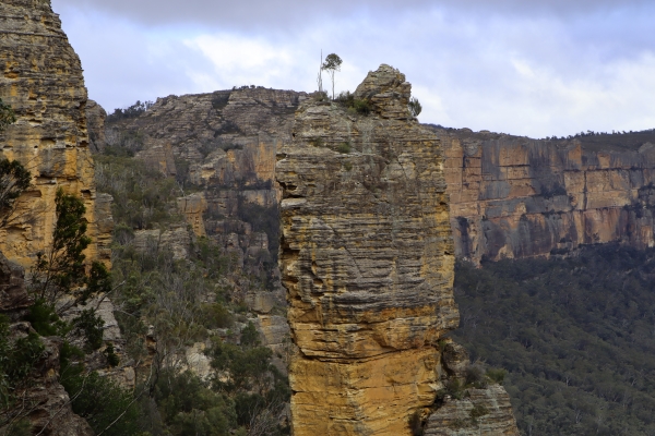
Today we return to Newnes via a different route. We continue along the escarpment of the Red Rocks, enjoying spectacular scenery the whole way. We take our time, lingering at vantage points to take photos and absorb the sweeping vistas of the vast Capertee Valley. We reach a magical set of natural rock formations called "The Room", and we stop here for a mid morning break. There is no rush today.
We backtrack a short distance and then begin our descent back to Newnes. Whilst it is not as steep as the ascent of the previous day, it is nonetheless a steep and scrubby in places and care must be taken. We follow a gully downstream until it opens out to some pleasant and peaceful grassy clearings. We have a relaxing lunch here before walking the final gentle 2km back to Newnes. We then camp a final night at Newnes.
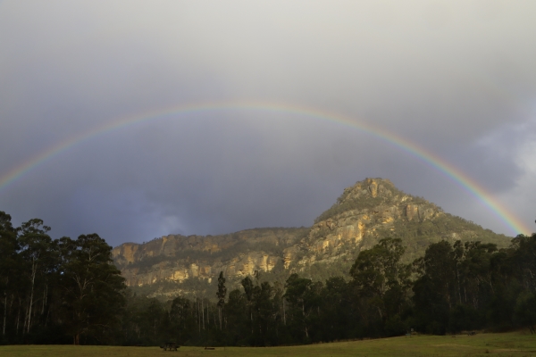
Because there is no public vehicle access to Newnes, we still have a 3-4 hour walk ahead of us to get back to the car.
We hike the Glow Worm Tunnel trail which was the route we followed on Day 1, except today we go via the Glow Worm Tunnel and the Pagoda Track. This route is rich in history, and the highlight is the famous Glow Worm Tunnel, 600m of dark passageway through the cliff, now inhabited by tiny glow worms which make the roof of the tunnel look like a starry night sky.
We reach the cars by about midday, which allows plenty of time for the drive back to Sydney.
Elevation Profile
What You Need to Bring
Being a self-supported bushwalk, the idea is that everyone brings their own gear and food for the weekend. Click the button below to review the gear list for this trip.
If you don’t have some of the items listed, don’t worry, many of the items can be borrowed or rented for a small fee.
Level of Difficulty
Still Unsure?
Don’t hesitate to write to me if you are unsure if the trip is suitable for you.
Starts With a Very Hard Climb
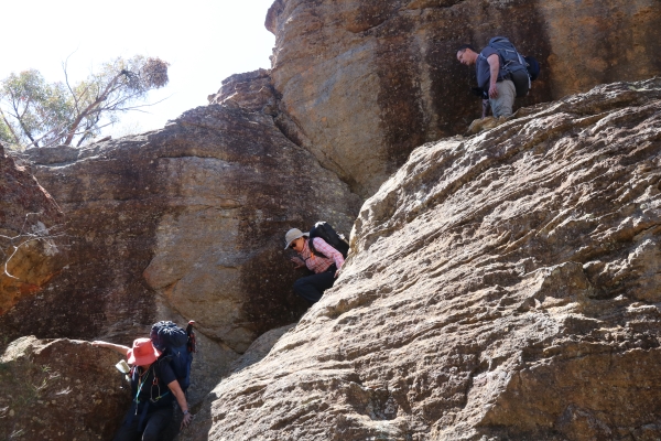
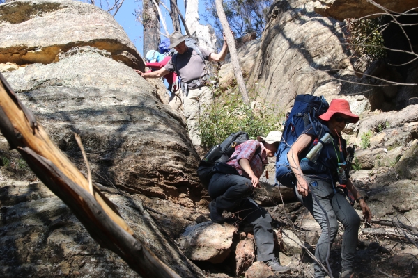
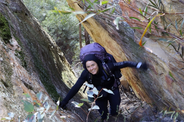
At the start of the Red Rocks walk on Day 2 you may wonder what you have let yourself in for, as it begins with a steep and arduous climb through the bush where there is no track or trail, and where you will be carrying a pack laden with full water bottles. It is very steep, and there is some dense scrub, and we need to make our way around the base of cliffs to find our way onto the plateau. It is a very tough start to the hike. But this is the hardest part of the entire hike. By mid-morning the steepest climb is over and the difficulty of the hiking gradually eases during the course of the day.
You earn your panoramic views and high ridges by paying for it early in the hike!
No Marked Path or Trail
After leaving Newnes Campground on Day 2, there is no marked path or trail at all for the remainder of that day.
The entire area was severely burnt in the 2019-2020 bushfires and since then the bush has become dense and overgrown. Nowadays we need to push through dense scrub to reach the high rocky tops near Mt Dawson.
Some Exposure
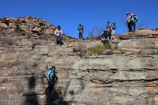
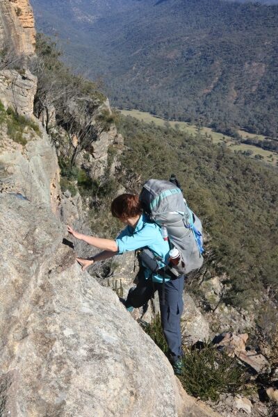
In places a good head for heights is needed. There is no requirement to use or attach to ropes, although a safety hand line will be carried by the leader as a group safety item.
Some of the rocky descents and ascents are quite airy and exposed.
Daily Distances are Deceptive
On days 2 and 3 the distances covered each day are only around 10km. However due to the complex off-trail nature of the hiking, this can take a lot longer than the modest distances may suggest.
There is plenty of time for rests and photo stops, so that you will have ample opportunity to enjoy the spectacular scenery.
Eligibility Criteria
The Red Rocks hike is open to clients who have completed at least one hike with MountainSphere Adventures previously. For example, the 2 day navigation weekend.
If you found the 2 day navigation weekend an easy to moderate hike, then it is likely you will find the Red Rocks hike to be a moderate to difficult hike.
If you have not completed a prior trip with MountainSphere Adventures and you still want to attend the Red Rocks hike, then please contact me to discuss.
A Client's Perspective
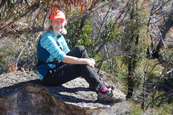
Take a look at the below detailed trip report written by valued client Katrina Hemingway, who attended the Red Rocks trip on 4-6 June 2021. This trip report provides an insight into the trip from the perspective of a client visiting this area for the first time, stepping a little outside her comfort zone to take on the challenge, and reaping the rewards and achievements of her off-trail wilderness adventure.
Price for Red Rocks Hike
The size of the group is capped at 6 clients.

