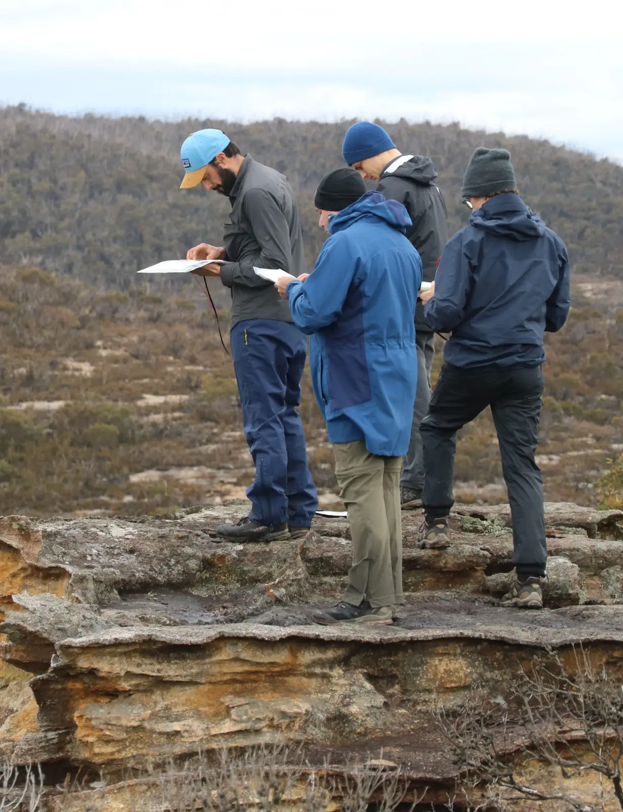
3 Day Navigation and Leadership Hike
Have you previously attended a MountainSphere 2-day navigation training weekend? Do you want more practise and to take your skills to the next level on a 3 day hike? Do you want to consolidate what you have already learned and become a trip leader competent in wilderness navigation?
Located near Bell in the Blue Mountains, NSW, Australia
About the 3 Day Nav Hike
The 3 day navigation hike is offered only to those clients who have already attended the MountainSphere 2 day navigation weekend and who want to take their learning and navigation skills to the next level.
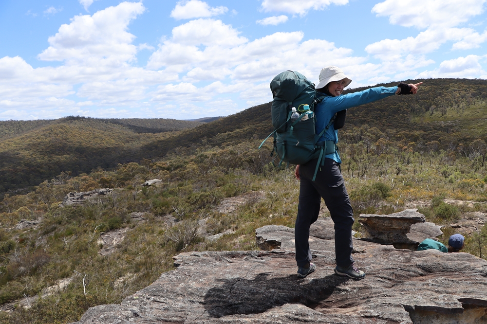
Held in the same general area as the 2 day navigation weekend but following a different route, you will rise to new challenges and will discover hidden locations in the wilderness by applying navigation skills already learned.
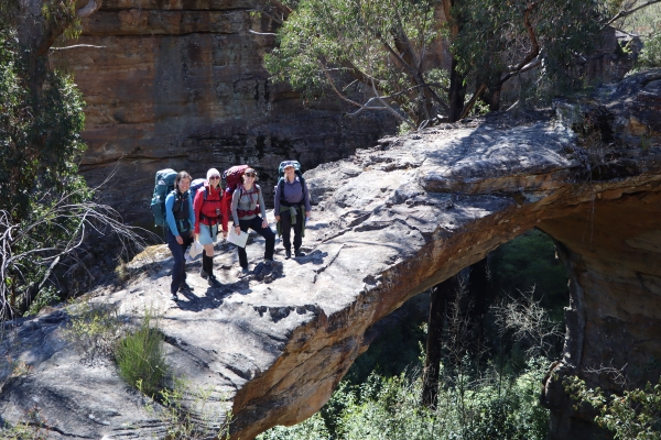
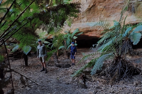
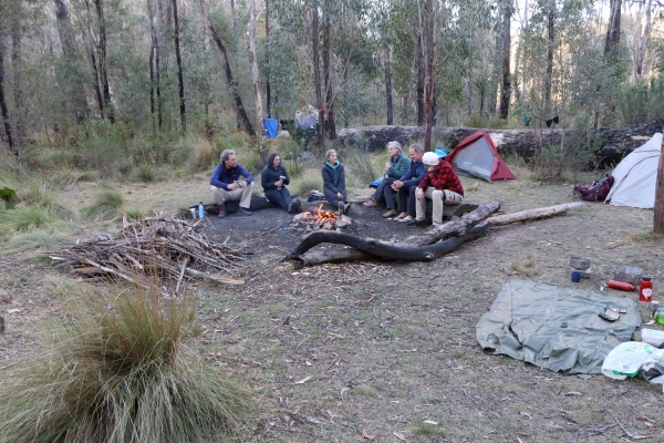
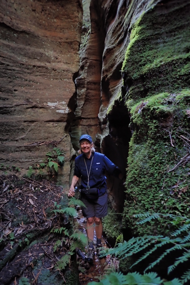
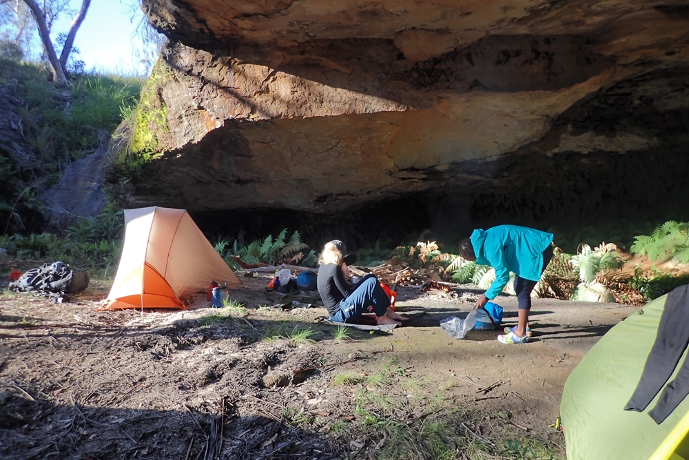
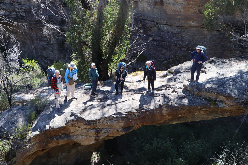
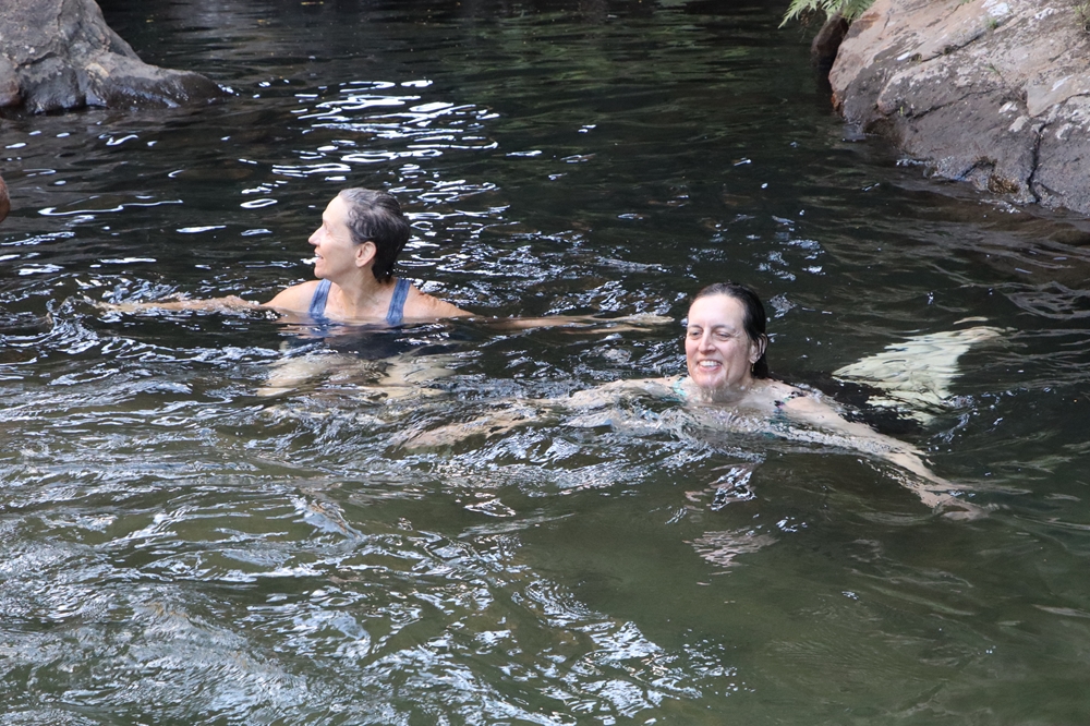
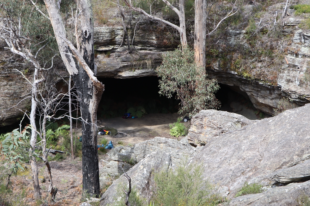
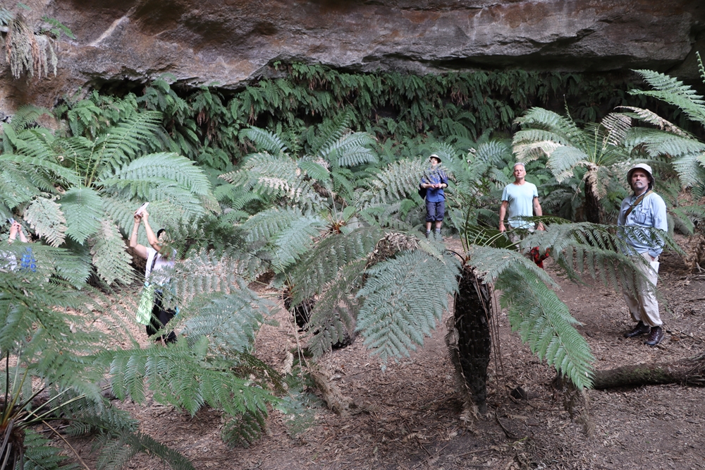
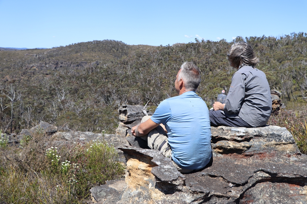
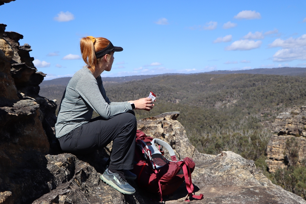
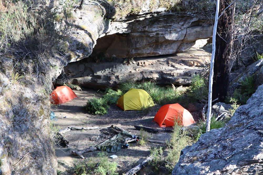
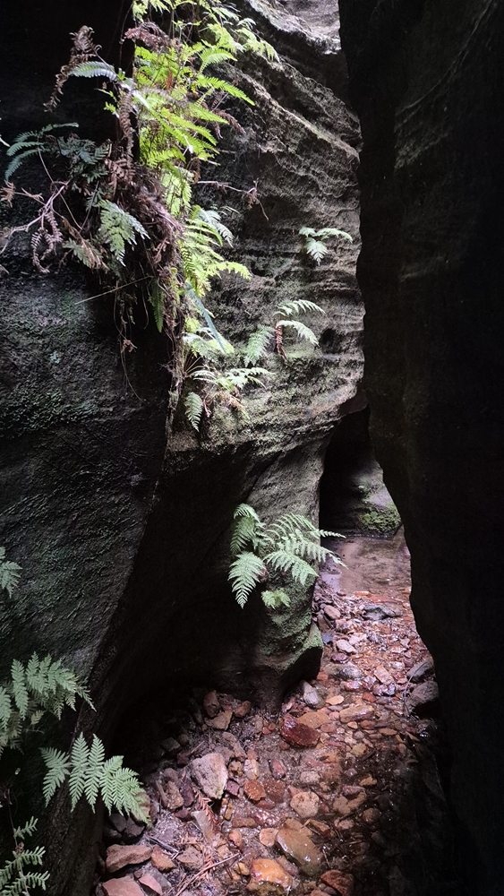
Your task will be to find places of exceptional natural beauty, hidden in the wilderness, with only a dot on the map given as your clue to its location. Uncover amazing natural rock sculptures, locate idyllic campsites, even discover a little known and rarely visited canyon and an ancient fern glade.
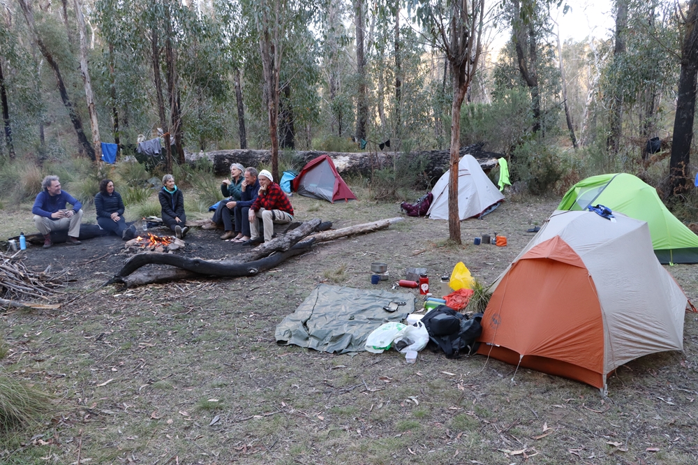
In your 3 day adventure you will consolidate your navigation skills, your leadership skills, and friendships. Work with a small team of like minded people in a wild and undeveloped environment, camp in a wilderness far from anywhere, and return from it invigorated and inspired, and having risen to new challenges.
Aims and Objectives
To Have Fun
As with all MountainSphere trips, the primary aim of the 3 day nav hike is to have fun, to enjoy and appreciate the bush, and to build friendships.
To Appreciate the Bush
We all have in common a love for the bush and we see it as a place to go for our personal wellbeing, enjoyment, health, and appreciation of the natural world. Navigation is simply the skill that we deploy to venture into wild places and find our way back again.
To Enhance your Navigation and Leadership Skills
Navigation is a leadership role on any bushwalk. Take your navigation skills to the next level and gain confidence as a trip leader. In a small group of like minded people, safely expose yourself to the responsibilities of navigation and leadership, under the oversight and expertise of someone with more than 30 years’ experience in wilderness navigation and leading trips in this specific location.
What You'll Learn
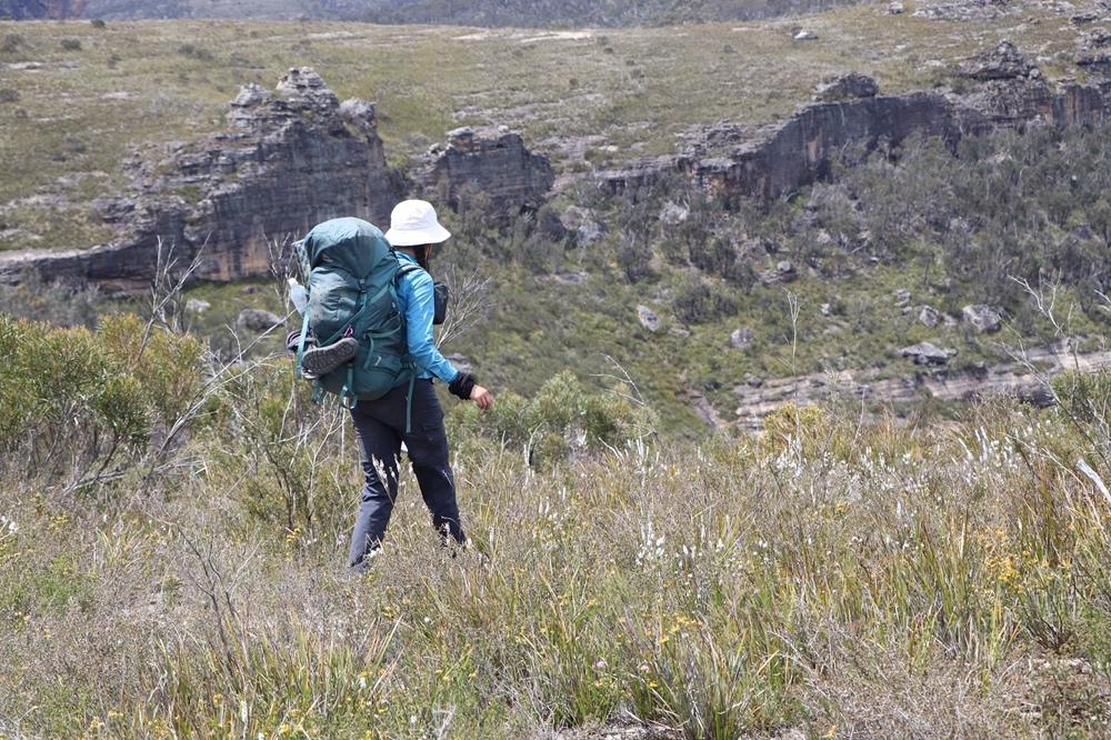
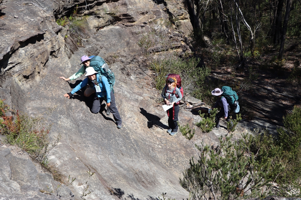
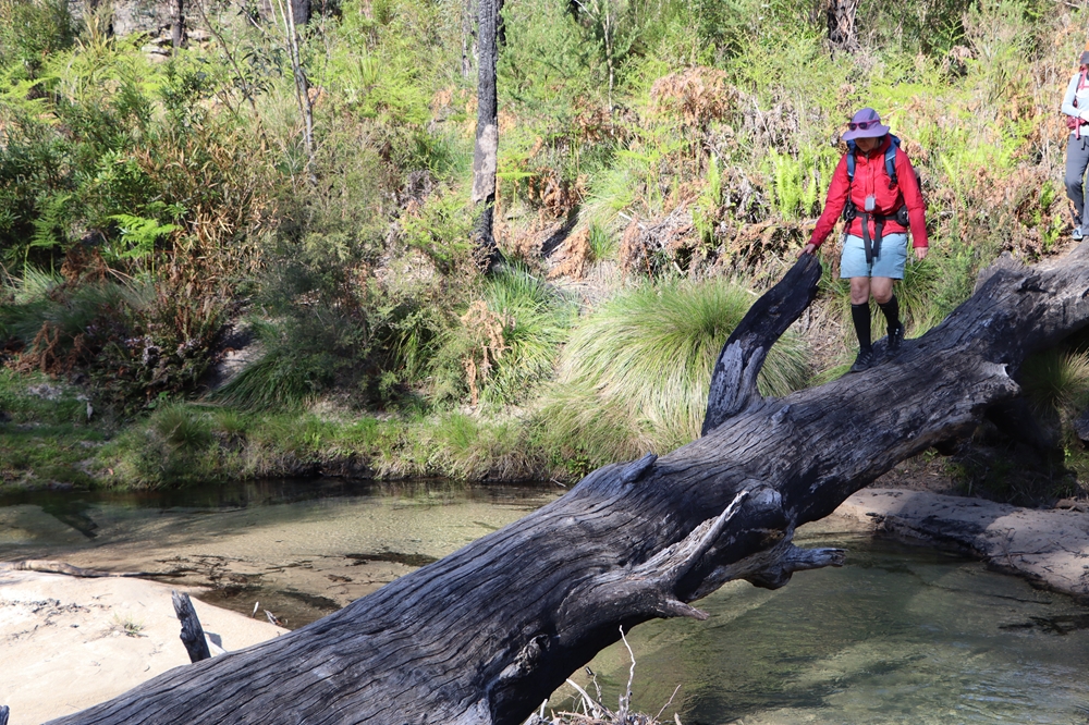
The 3 day navigation hike is an opportunity to practise and further develop the skills you learned on the 2 day navigation weekend. The terrain is similar but in places it is navigationally more challenging. Whereas on the 2 day navigation weekend there is mostly some kind of trail to follow, on parts of the 3 day navigation hike there is no trail at all, meaning it is up to you to navigate the route using the terrain, your map and your compass.
Another key difference between the 3 day and the 2 day hike is that you are assigned in advance which part of the walk you will lead. Each person will have the chance to lead at least an entire half day of walking, depending on the number of people attending. You will have the opportunity to plan the route we will take in advance, and you will come to the trip prepared, and will discuss the route with the group before setting off.
Don’t worry, this is not onerous, and the route we end up taking will be decided by MountainSphere Adventures. It is instead a good chance to learn the process of trip planning and route finding that you will likely be doing as a trip leader on your future adventures.
The group size on the 3 day navigation hike is capped at 6 people, which is fewer than on most 2 day navigation weekends. This provides more opportunity for one-on-one learning and allows you more time to lead the hiking.
What You Need to Bring
As with the 2 day navigation weekend, the idea is that everyone brings their own gear and food. Click the button below to review the gear list for this trip.
If you don’t have some of the items listed, don’t worry, many of the items can be borrowed or rented for a small fee.
Level of Difficulty
This trip is open only to clients who have previously completed a 2 day entry level navigation weekend in the same area. By being admitted on this 3 day hike you will already have demonstrated a good level of competency and fitness on the 2 day navigation weekend.
Each day of the three day hike is similar in terms of distance and difficulty as the second day of the 2 day navigation weekend. However, being a 3 day rather than a 2 day hike, your backpack will be a little heavier owing to the additional food you will be carrying. On the second day there is no path at all and the scrub is quite dense, and this persists until the early afternoon.
Regular exercise and prior experience carrying a backpack for overnight camping is required. Regular exercise is taken to mean something that causes you to sweat and become out of breath, carried out at least twice per week. For example, a brisk walk, jog, run, gym workout or sporting activity.
Photo Gallery
Price for the 3 Day Navigation Hike
The 3 day navigation hike is capped at 6 participants and can run with as few as 3 participants.
The same map is used as on the 2 day navigation hike so you can save on the cost of a new map by bringing the one you used on the 2 day navigation weekend.
Compasses may be hired or purchased at an additional charge.
If you require camping gear such as tent, backpack and sleeping bag, these can be hired at additional charge.
-
 Course Fee in a group of 3 people $450
This is the guiding fee if the group size is only 3 people.
-
 Course Fee in a group of 4-6 people $400
This is the guiding fee if the group size is 4-6 people.
-
 Topographic map $25
You can reuse the map that you purchased on the 2 day navigation weekend. If you require a new one, these can be purchased.

