Navigation Training Weekends
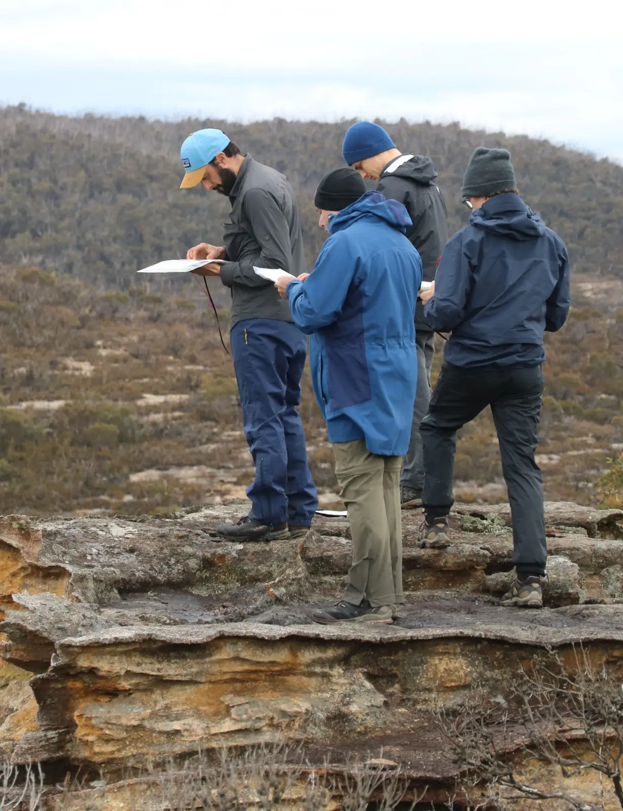
Located near Bell in the Blue Mountains, NSW, Australia
Learn Bush Navigation
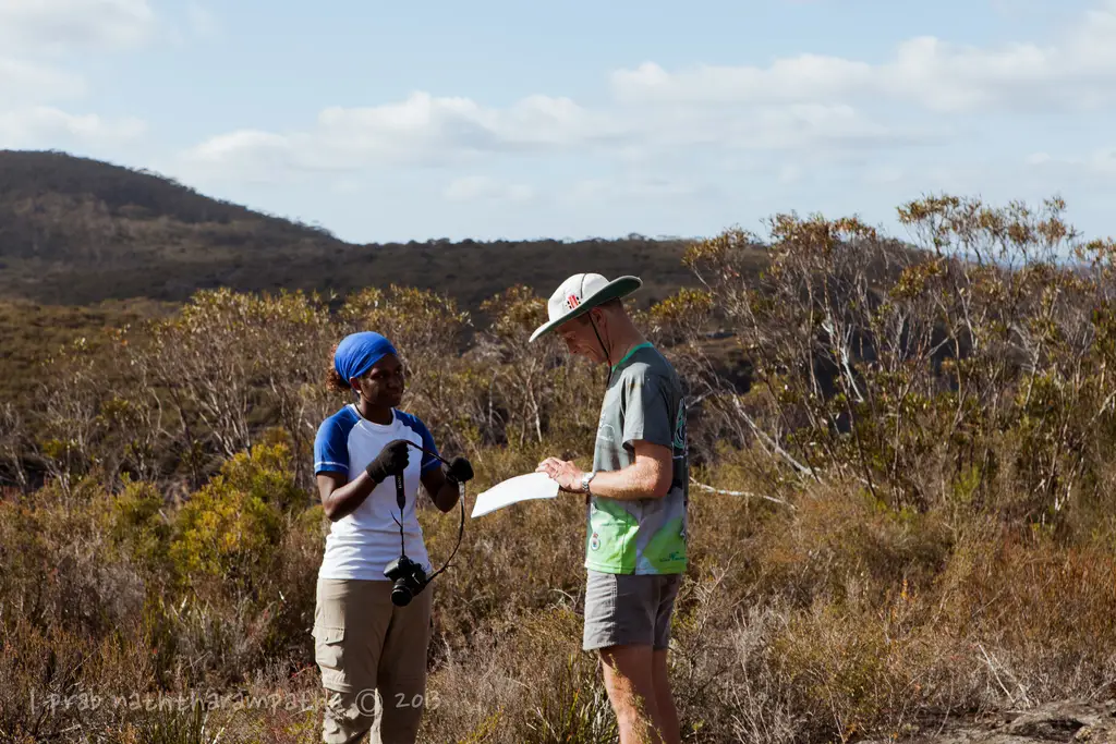
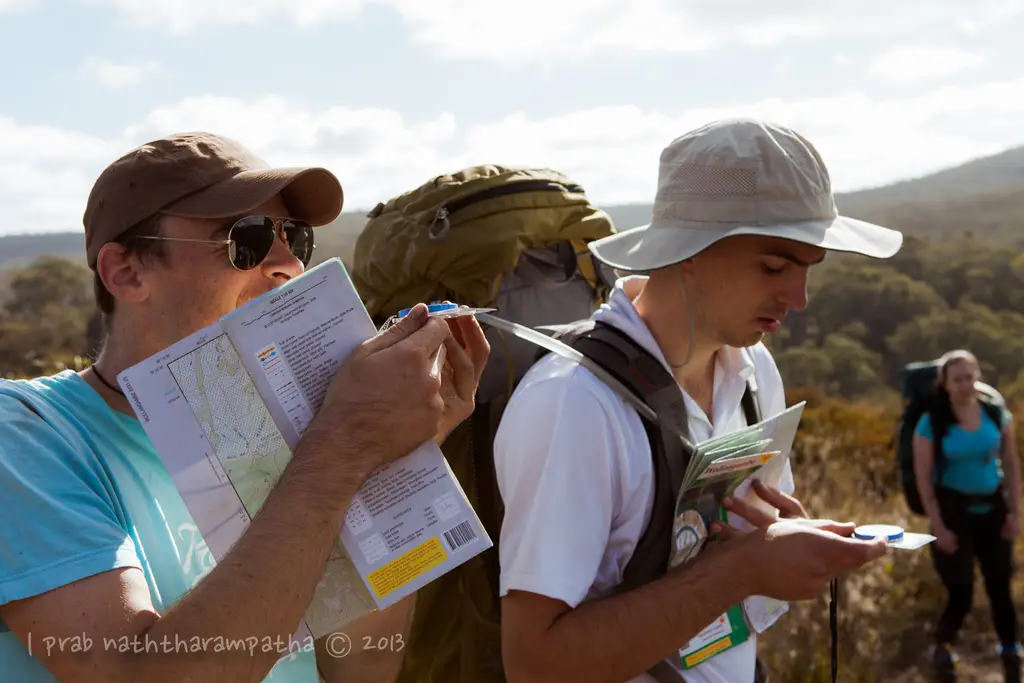
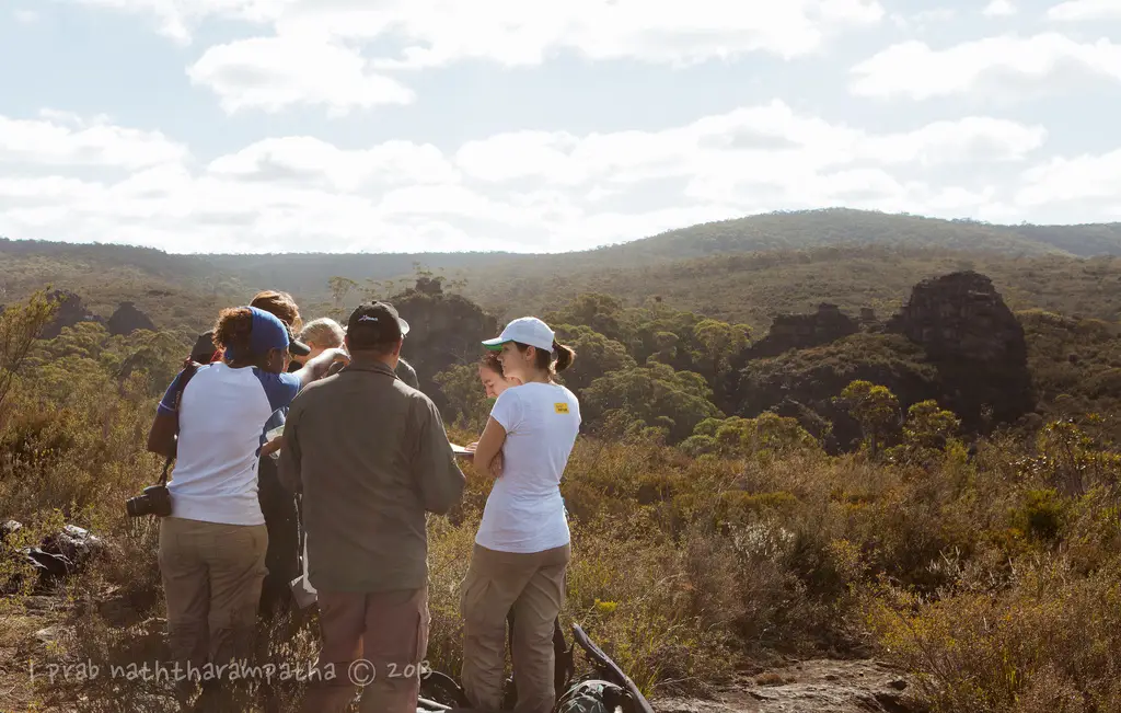
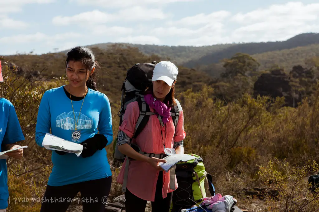
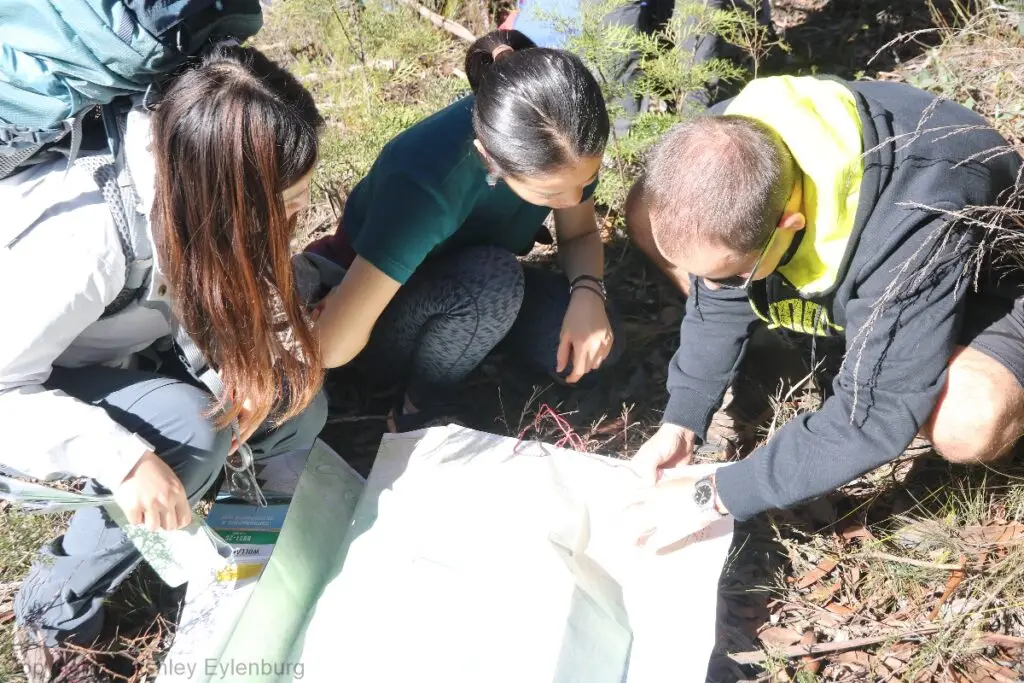
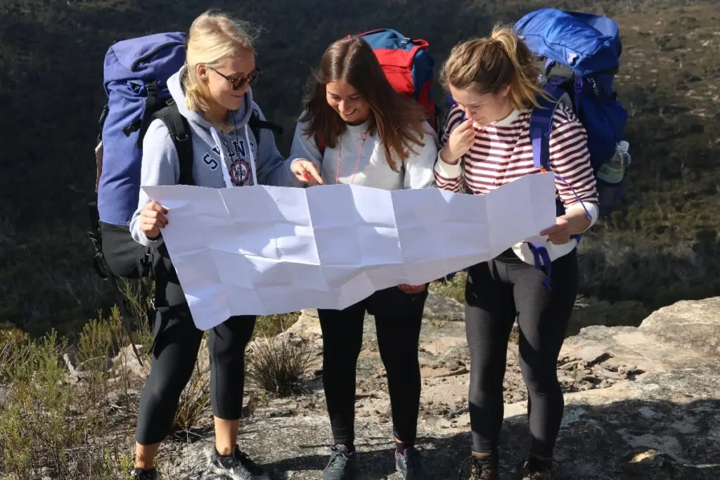
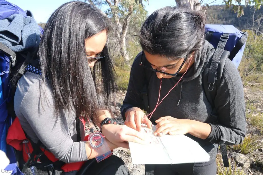
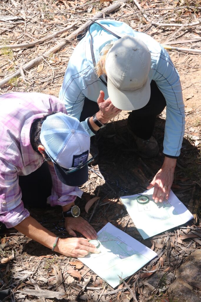
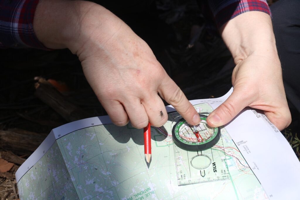
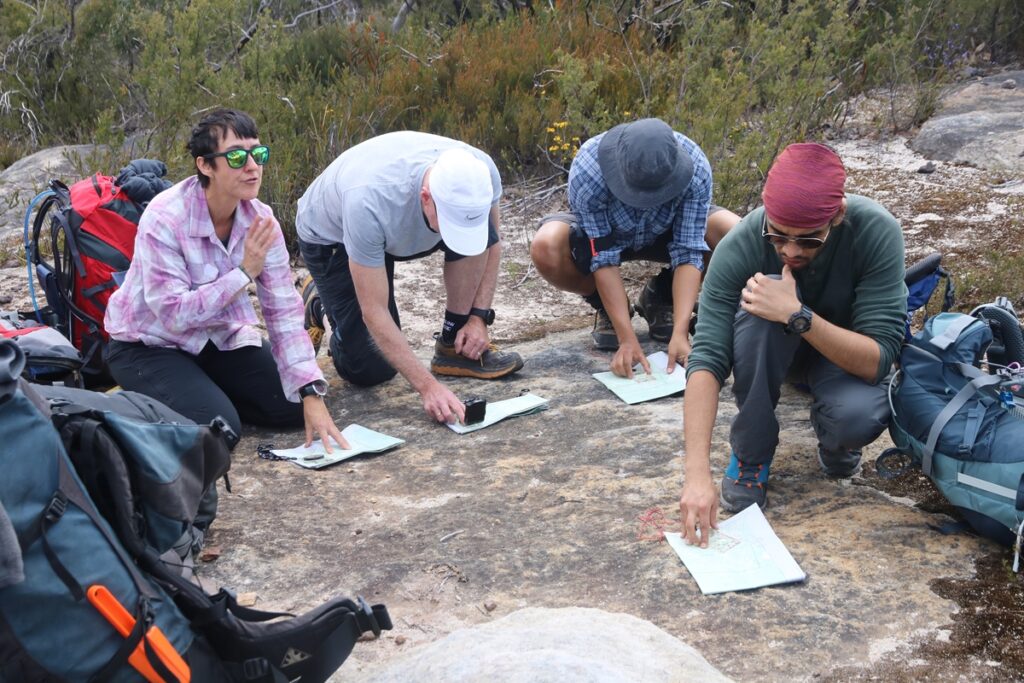
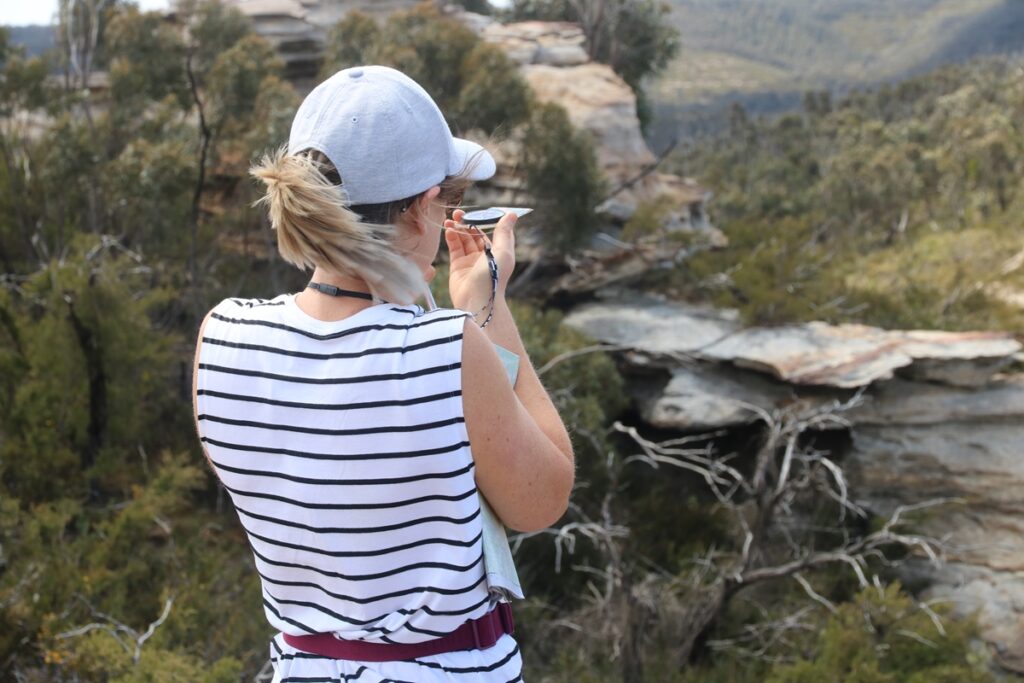
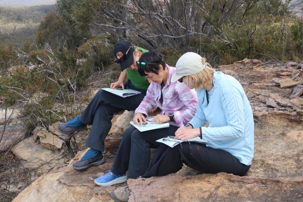
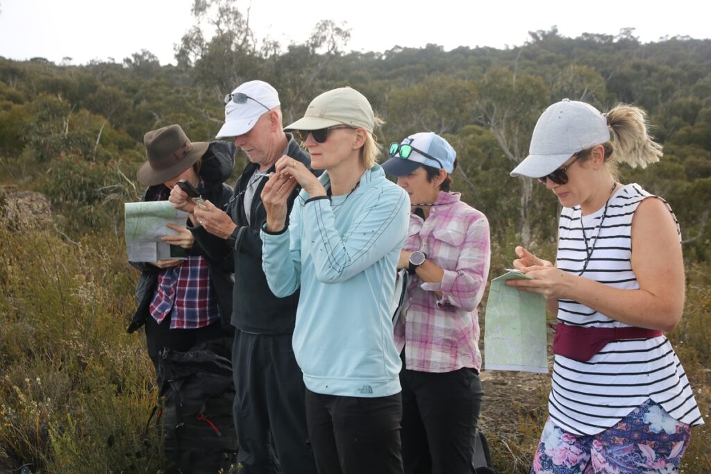
The navigation weekend is a 2 day self-supported bushwalk where you will learn how to read a topographic map and how to use a compass, taught in a practical and inclusive style that allows you to immediately put into practise what you are learning.
For more information, see below.
Aims and Objectives
To Have Fun
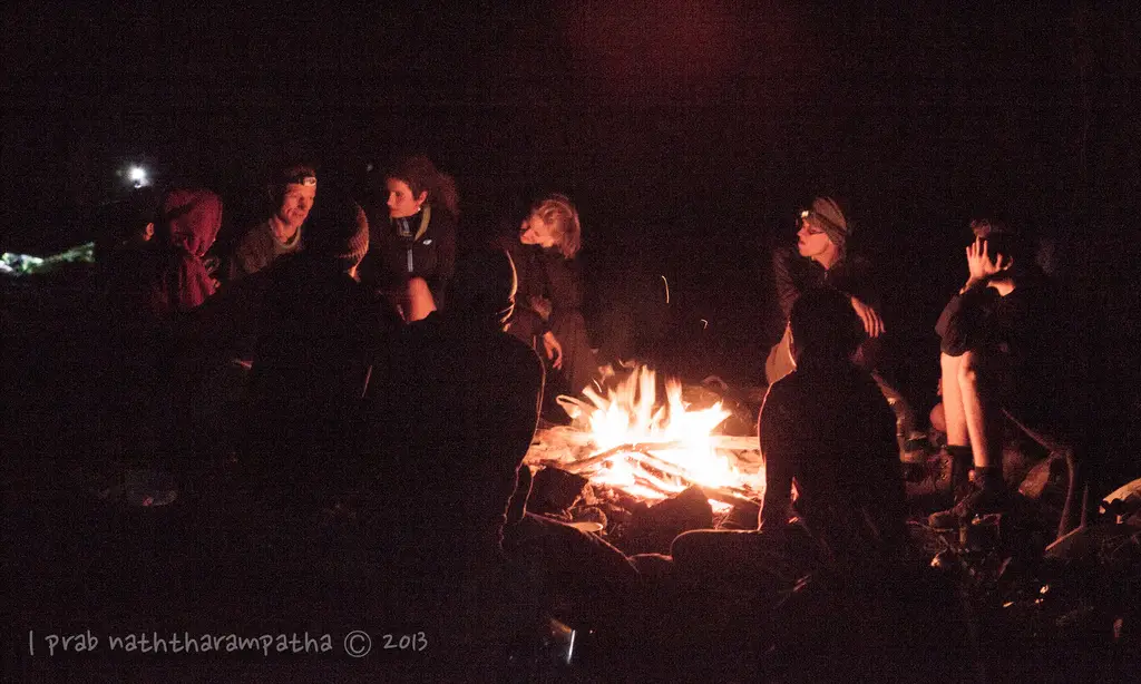
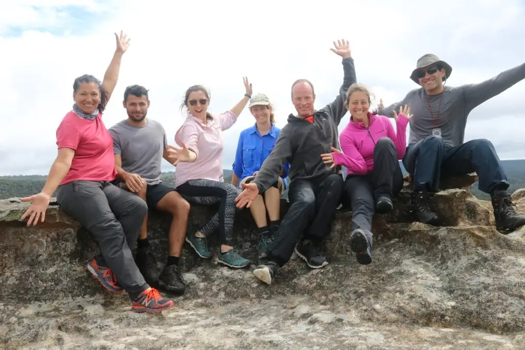
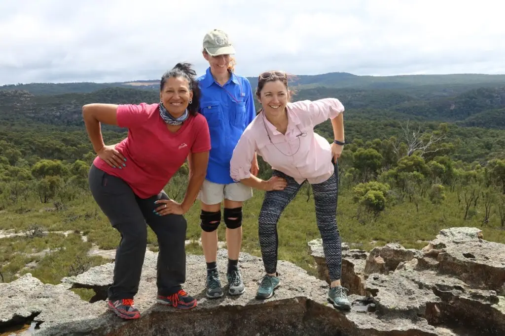
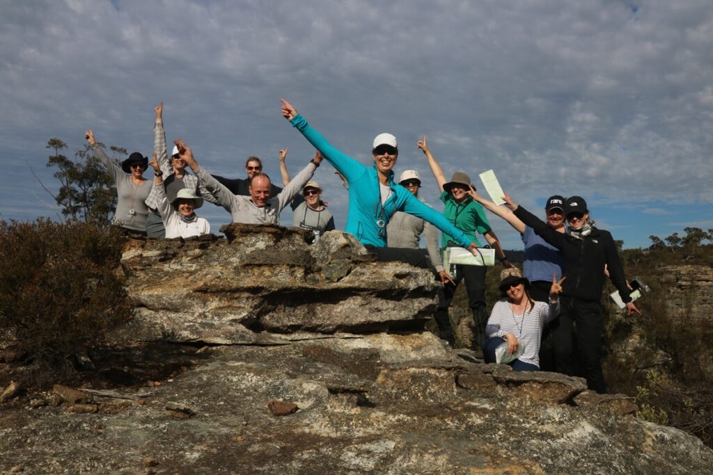
Navigating is fun. Learning to use a map and compass is fun. Bushwalking and camping in a beautiful area with a group of like-minded people is the best.
To Enjoy and Appreciate the Bush
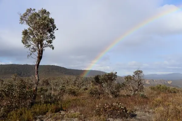
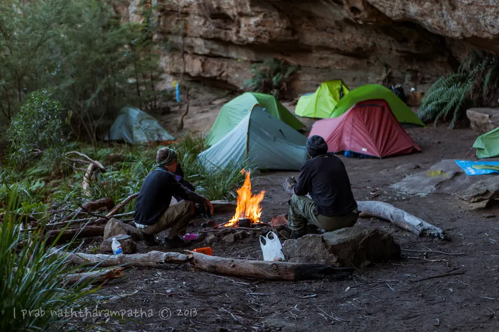
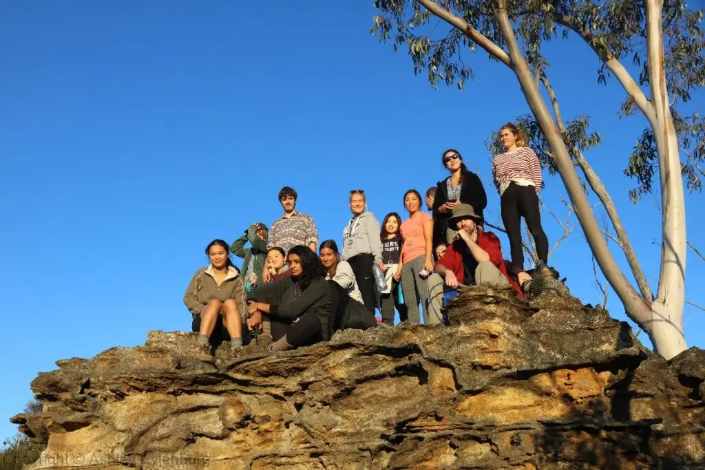
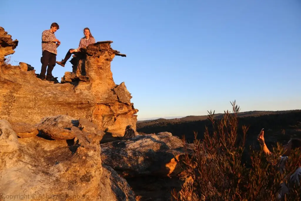
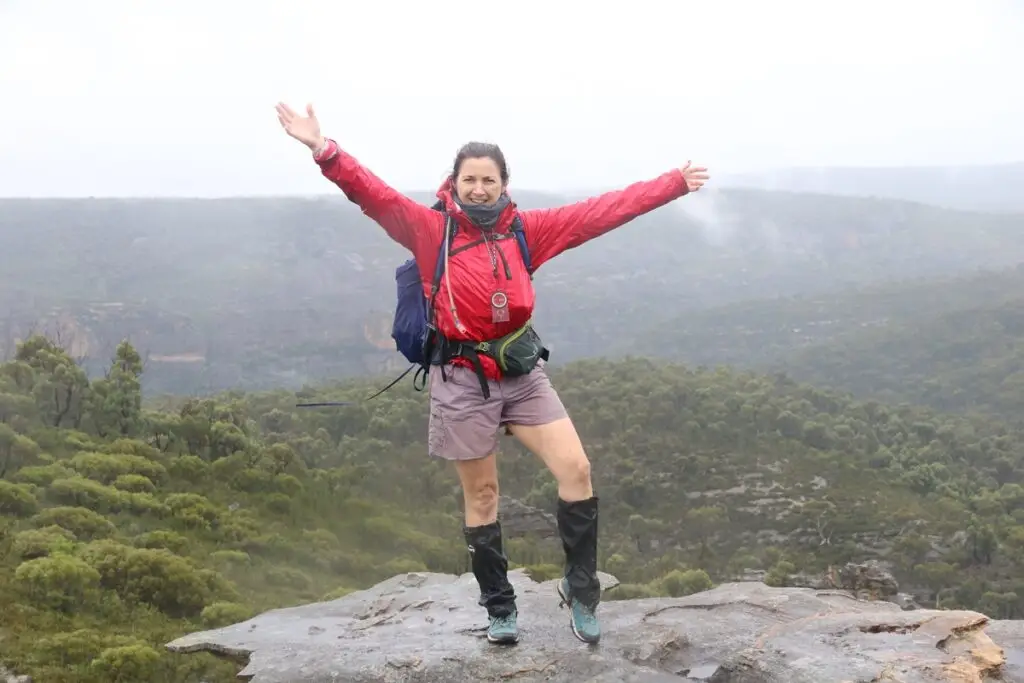
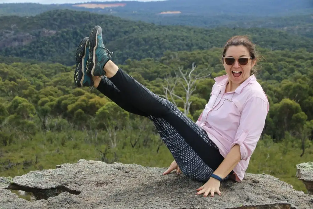
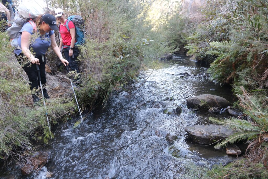
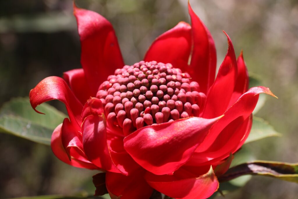
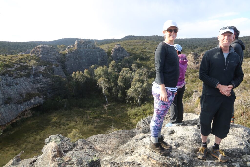
The area we will be walking in is beautiful. It is rich in biodiversity and you will enjoy a variety of landscapes. There are delicate sandstone formations, sweeping views, beautiful clear streams, and you will learn to navigate to reach a particularly special area of natural rock gardens which is where we will camp.
To learn to navigate using topographic map and compass
Bush navigation is an empowering skill because it enables you to head out into the bush on its terms, and to become confident in your own ability to find your way and be comfortable in a natural environment far away from any human infrastructure. With navigation skill the bush becomes your home, not something to feel insecure in and not something you need to insulate yourself from or protect yourself against.
In a Nutshell
The whole point of the weekend is so you can learn to venture into a wilderness area – where there is no human infrastructure – safely and confidently, and find your way back out again. And to enjoy it.
What You'll Learn
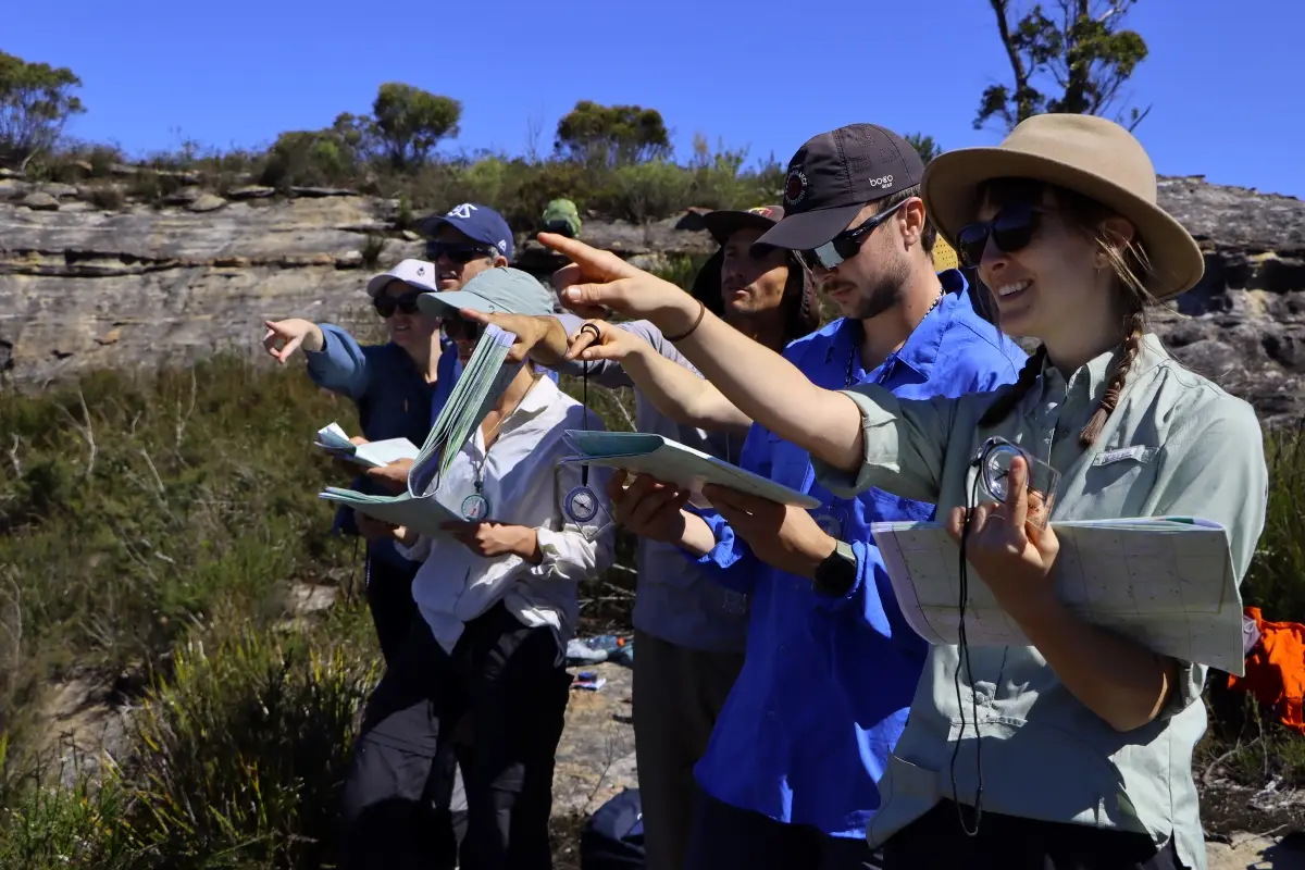
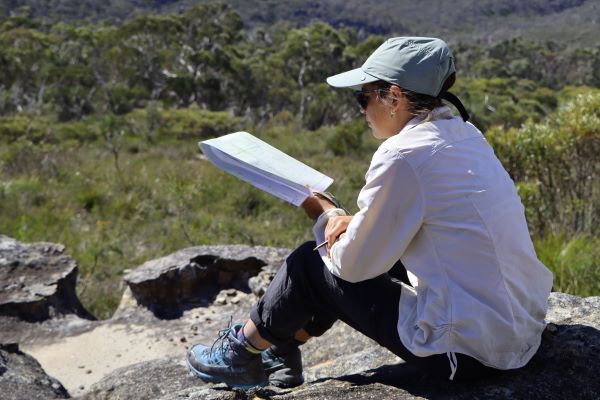
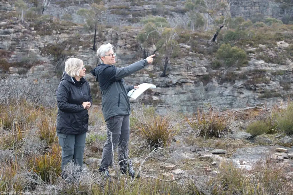
With an emphasis on practising and applying your skill in a real off trail environment you will learn all the skills covered in the online navigation tutorial that you can access by clicking the button below.
All this and more is taught in a natural, easy going and respectful teaching style tailored to your needs and expectations. Learn from someone who is genuinely motivated and passionate about sharing the skill of navigation built over decades of practical learning.
There are no exams, no assessments, no pass or fail, just a weekend of education and fun that will build your confidence and skill to venture into wild places.
What You Need to Bring
Being a self-supported bushwalk, the idea is that everyone brings their own gear and food for the weekend. Click the button below to review the gear list for this trip.
If you don’t have some of the items listed, don’t worry, many of the items can be borrowed or rented for a small fee.
Level of Difficulty
The 2 day navigation weekend is MountainSphere’s entry level trip which is open to all.
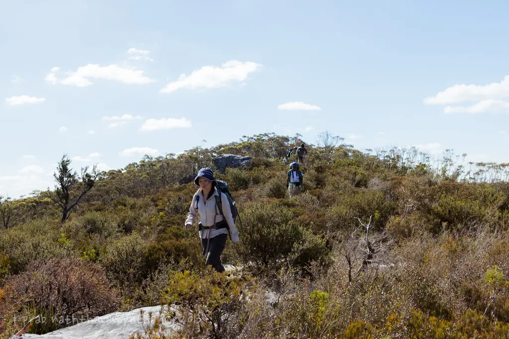
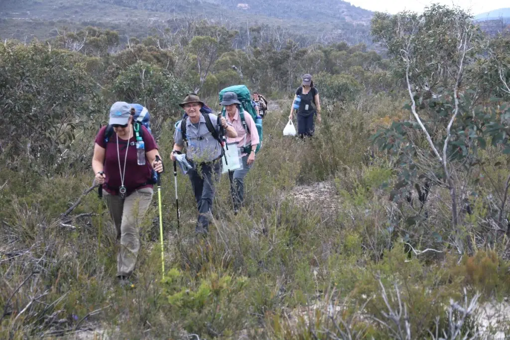
The trip is open to beginners with no previous navigation experience. However a minimum fitness level is required. You will be hiking with a backpack and you will be carrying all your own food, camping gear and water. Your backpack may weigh around 12kg.
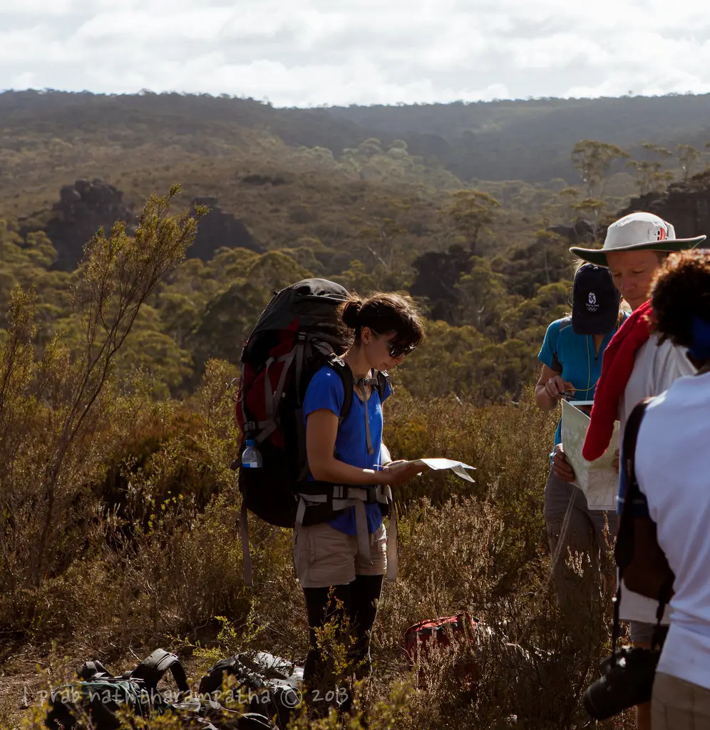
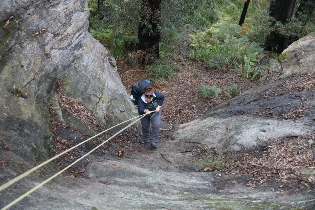
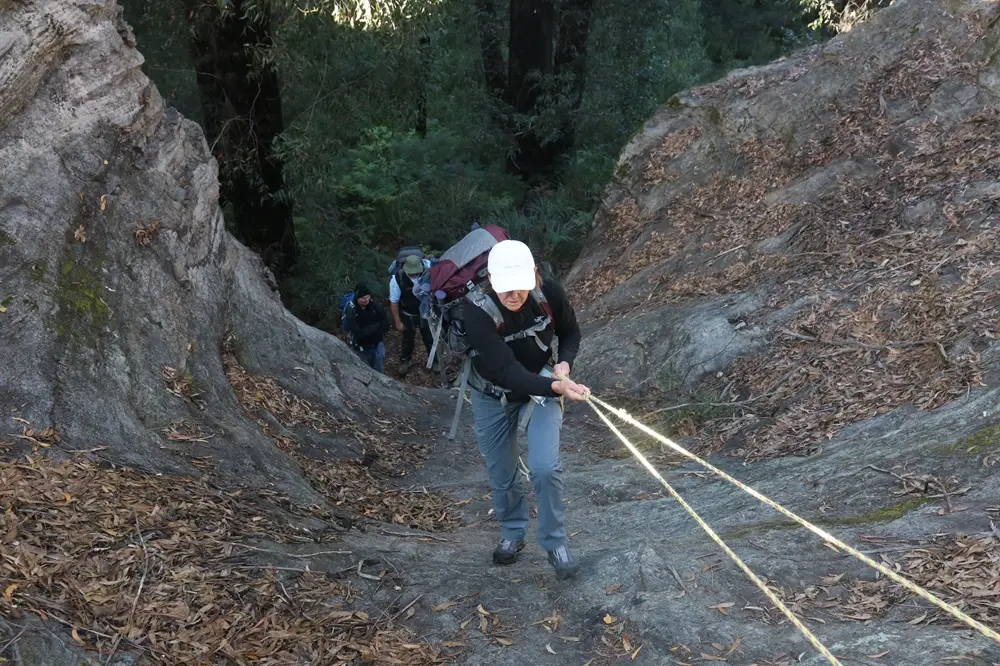
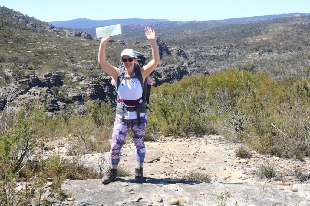
To help you learn navigation skills, you will at times be walking through sections of bush where there is no track. At times you will be hiking through dense scrub and in a few places the terrain is steep and uneven.
We’ll be hiking for about 4-6 hours per day with frequent breaks and rests, with plenty of time for navigational training to be carried out during the hike.
The trip is within the capabilities of people of all ages, provided you do regular exercise. By exercise I mean something that causes you to sweat and become out of breath. By regular I mean a couple of times per week.
Photo Gallery
Price for Navigation Weekend
The price of the navigation weekend comprises the course fee plus a topographic map. Maps can be shared if you are attending with a friend. If you have your own compass you may bring it, otherwise you may hire or purchase a compass at an additional charge.
If you require camping gear such as tent, backpack and sleeping bag, these can be hired at additional charge.
-
 Course Fee $310
This is the base price for the guided hike and the navigation training.
-
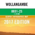 Topographic map $25
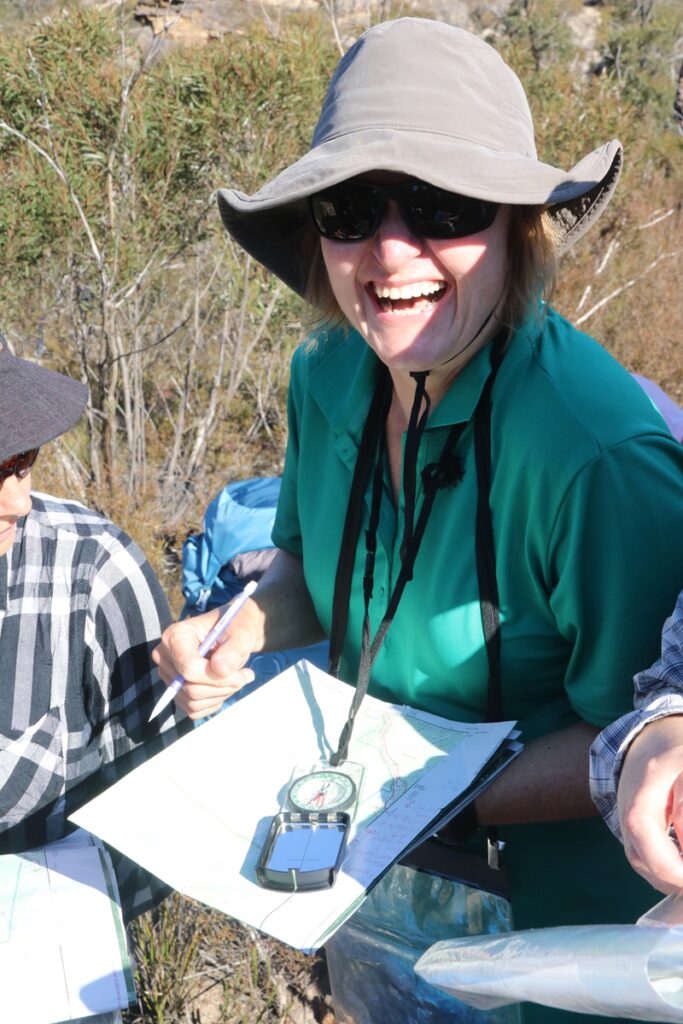
Maps can be shared one between two if you are attending with a friend. The map is used throughout the weekend and is then yours to keep. The map is of a high quality, is laminated on both sides, can be drawn on in pencil, and will withstand the elements. It measures approximately 1.1m x 0.6m.
Price for Compasses
If you already have your own compass you may bring it. Otherwise you may rent or purchase a compass from the list below.
You don’t need to choose a compass now. You can check out my compass recommendations by clicking the button below.
-
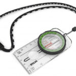 Hire a compass $15
A good Silva Ranger or similar compass can be provided for your use on the weekend, and must be returned when the trip concludes.
-
 Buy a Silva Ranger compass $62
The most popular option is to buy a Silva Ranger.
-
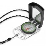 Buy a Silva Ranger S compass with mirror $90
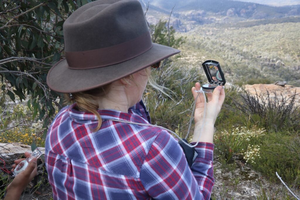
This is an excellent compass and includes a mirror for more accurate sightings. How you use the mirror to do sightings will be explained to you on the navigation weekend.
